Blogs
Editor’s Note: Clara Deser and Stephen Yeager presented this work at a seminar (video here) in early March 2024, permitted us to share their research, and reviewed this article. They are preparing a manuscript, which is tentatively titled “Predicting the 2023/2024 El Nino and its climate impacts over North America” which will include additional technical details.
Climate scientists are basically cats. Climate forecasts, especially those generated from complex computer models, are their balls of yarn – bundles that hide an entangled mess of complex interactions that lie beneath the surface. We all know what happens when a cat sees a messy, tangled knot of string. They stalk it, pounce, and…
Read article
The El Niño of 2023–24 is weakening. Forecasters estimate an 85% chance that El Niño will end and the tropical Pacific will transition to neutral conditions by the April–June period. There’s a 60% chance that La Niña will develop by June–August. Overall, the forecast this month is very similar to last month, and we continue to expect La Niña for the Northern Hemisphere fall and early winter (around 85% chance).
La Niña and El Niño are opposite phases of the El Niño-Southern Oscillation climate pattern. “ENSO” for short. Just like El Niño, La Niña changes the ocean and atmospheric circulation in the tropics. Those changes start in the Pacific Ocean and then ripple around the world in predi…
Read article
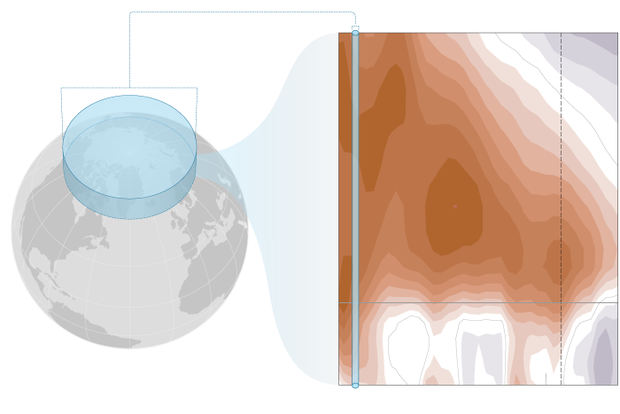
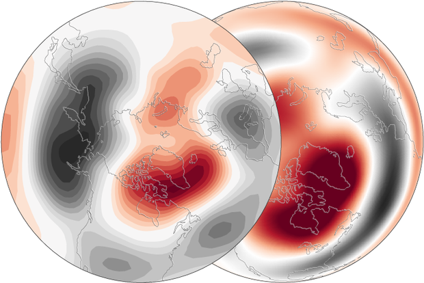
The stratospheric polar vortex is a seasonal phenomenon. It forms in late summer, when the polar region starts to lose incoming sunlight as Earth’s orbit causes the planet’s axis to be tilted away from the Sun. Its strength peaks in winter, during polar night. In spring, as the sunlight returns, and the polar stratosphere begins to warm up, the writing is on the wall: the polar vortex’s days are numbered. The equator-to-pole temperature gradients that maintain the west-to-east flowing winds in the stratosphere will weaken, and the polar vortex winds will dissipate. They will be replaced by polar stratospheric winds that flow weakly east-to-west through summer until the vortex reforms [footno…
Read article
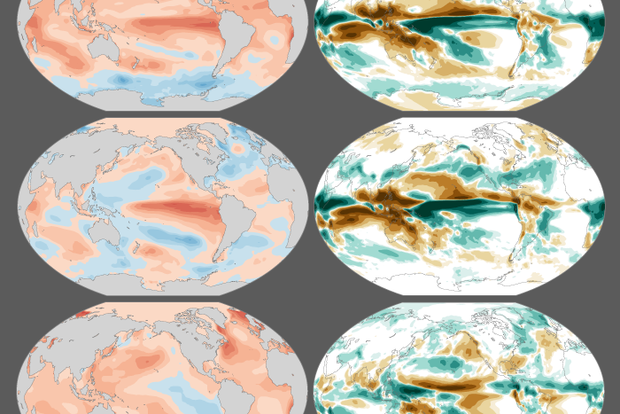
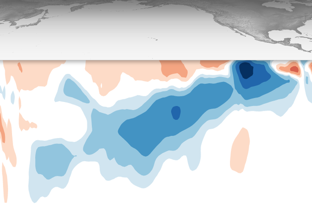
Last November, I wrote about how a strong El Niño might shape precipitation over the U.S. this winter (December – February). So, what happened? With crocuses now starting to bloom and the chirps of spring peepers in full chorus, we’re ready to investigate!
An El Niño-ish big picture
First, let’s acknowledge that a strong El Niño occurred this winter, as NOAA had been forecasting since issuing an El Niño Watch in April 2023. (If we couldn’t check that box, this would be a very short post!) We unofficially consider El Niño to be “strong” when the Oceanic Niño Index (ONI) exceeds 1.5 °C (2.7 °F), and the ONI value for this past December – February w…
Read article
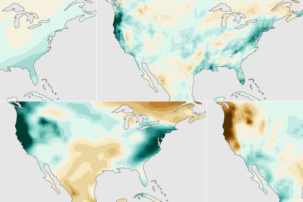
As we’ve mentioned a few times before in this blog, the stratospheric polar vortex has been pretty active this winter. The screaming-fast winds that circle the North Pole high above the surface during Polar Night have completely reversed twice. (And in between those two events, there was a maybe: the west-to-east winds* at 60 degrees fluttered around zero, but may not have actually reversed for long enough to officially qualify.)
As such events often do (it’s why we pay attention to them!), the one in January probably played some role in the extreme cold in the central U.S. in January that kept the winter from being a complete bust. (Footnote 1).
All this starting, stopping, re…
Read article