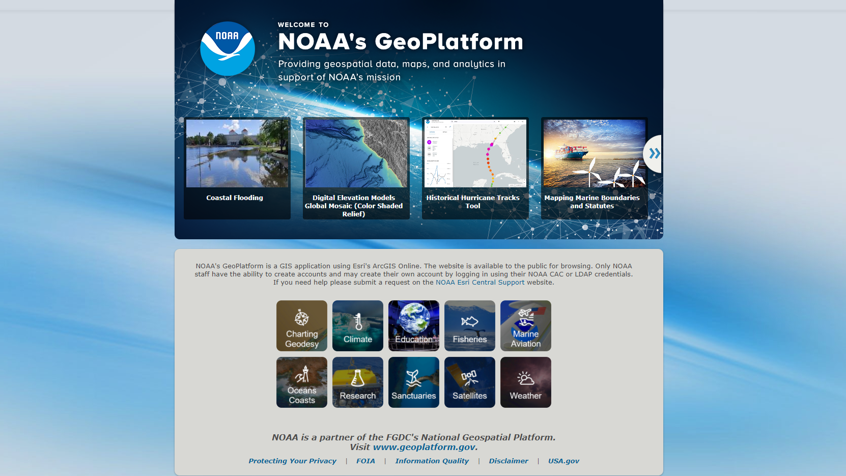
NOAA's Geoplatform provides geospatial data, maps, and analytics in support of the National Oceanic and Atmospheric Administration's mission. The site is a GIS application using Esri's ArcGIS Online. Prepared products including Maps, Layers, Scenes, and Apps and StoryMaps are available to the public for browsing. Only NOAA staff have the ability to create accounts and share resources on the site.
Where do these data come from?
Map-based products on the site show data from all parts of NOAA. Products also incorporate maps made available by Esri, for instance through the Living Atlas of the World. Maps or services showing current or historical weather come from the National Weather Service. Satellite-based images are from NOAA's National Environmental Satellite, Data, and Information Service.
What can I do with these data?
Explore map-based products produced by personnel from across NOAA
- Visit the HEAT.gov portal to consider what your community can do to protect residents during the hot days of summer
- Interact with map visualizations depicting the location and strength of tropical storms and hurricanes over the past century
- View recent weather events in satellite images and animations
-
How do I use the site?
Open NOAA's GeoPortal and explore topics of interest. You can browse the Gallery, or look for specific products such as maps or web apps to see the range of map-based products for various audiences.
-
Data Format(s)Other
Access Type Link & Description Visualization A GIS application using Esri's ArcGIS Online to make NOAA's geospatial data, maps, layers, and analytics available to the public for browsing. -
Data TypeLand-based station, Marine / Ocean, Model, Paleoclimate, Radar, Satellite, Severe weatherEmailgis.community@noaa.gov
 Click to see more detail