
Image caption
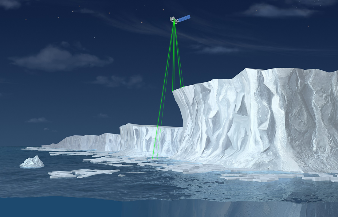
This artist’s illustration of the ICESat 2 satellite shows how its six green laser beams measure the height and extent of an ice shelf. Credit: NASA.
This artist’s illustration of the ICESat 2 satellite shows how its six green laser beams measure the height and extent of an ice shelf. Credit: NASA.