
Image caption
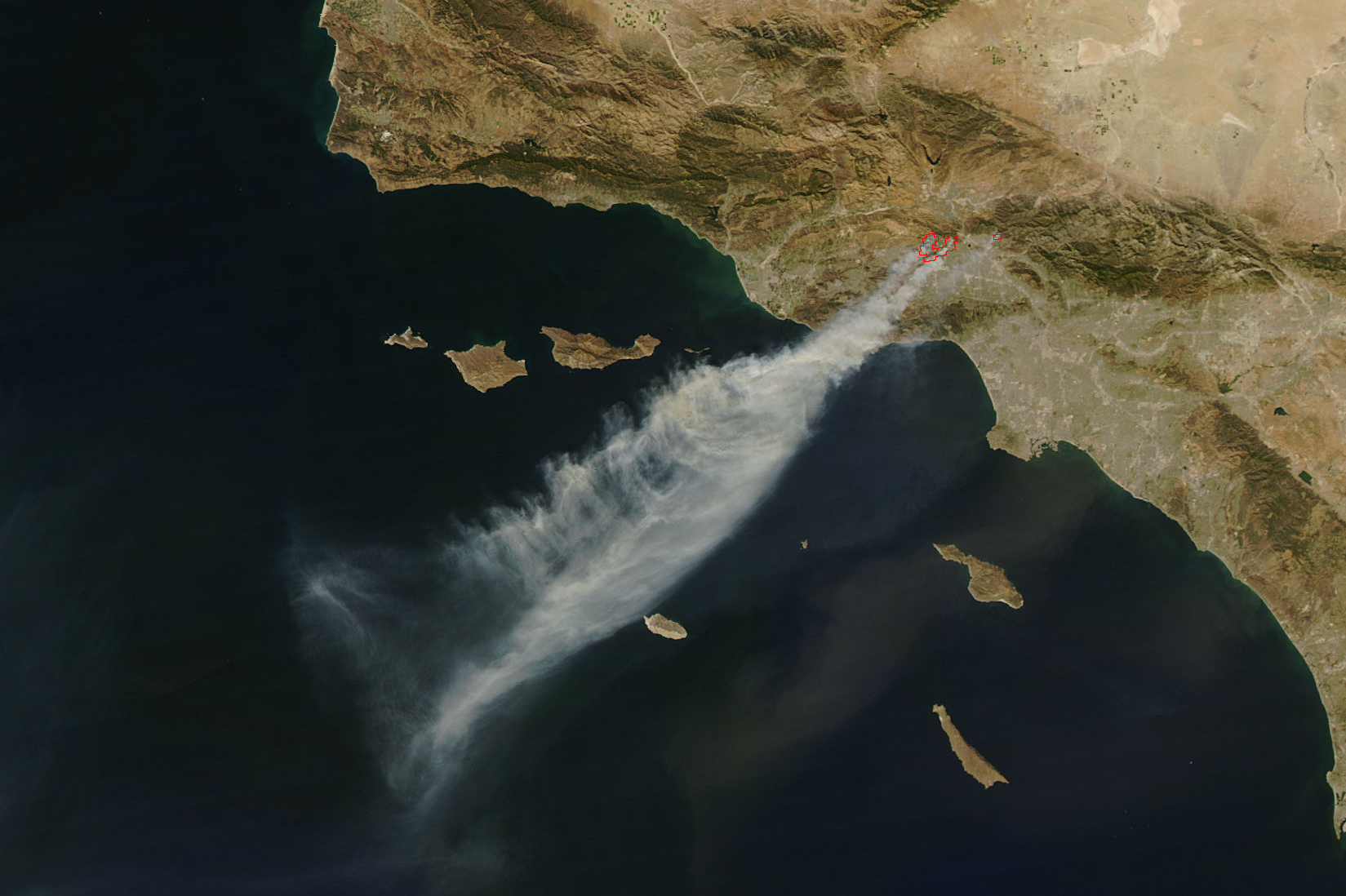
Driven by powerful Santa Ana winds, this NASA satellite image from October 13, 2008, shows smoke from the wildfires that raged near Los Angeles. Image courtesy NASA Earth Observatory.
Driven by powerful Santa Ana winds, this NASA satellite image from October 13, 2008, shows smoke from the wildfires that raged near Los Angeles. Image courtesy NASA Earth Observatory.