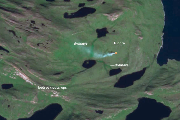
Image caption
An infrared-enhanced satellite image of the fire before it spread. Satellite image from the European Space Agency, pulled as a screenshot from Stef Lhermitte's Youtube animation of the fire progression.
An infrared-enhanced satellite image of the fire before it spread. Satellite image from the European Space Agency, pulled as a screenshot from Stef Lhermitte's Youtube animation of the fire progression.