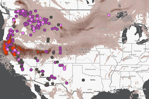
This sample map shows fires and smoke across the United States. Credit: NIDIS
The CPO-led National Integrated Drought Information System (NIDIS) added two new interactive features on drought.gov that will make it easier for decision makers and the public across the United States to share timely, reliable drought information. These improvements further the NIDIS goal of making drought.gov a one-stop shop for data, decision-support products, and resources.
The first feature is new customization and sharing options for all maps that will make it easy to create custom, high-quality maps. Such custom maps can be included in drought or risk mitigation plans, shared on social media and in media briefings, or used to communicate with stakeholders and report on drought impacts across the United States.
Read more at the link below.