Blogs
This is a guest post by Weston Anderson (@HydroClim) who is an assistant research scientist with the Earth System Science Interdisciplinary Center at the University of Maryland and the NASA Goddard Space Flight Center, where he works with the Famine Early Warning System team.
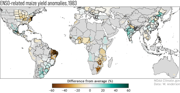
A couple of weeks ago, NOAA issued a La Niña Watch based on the possible development of a La Niña this fall that could persist through Northern Hemisphere winter 2021-22. At times like this, we climate scientists spend a great deal of time discussing how ENSO will affect precipitation and temperature, but we often neglect discussion of what those changes will mean for vegetation and…
Read article
As things stand with the El Niño-Southern Oscillation (ENSO), neutral conditions are currently present in the tropical Pacific and favored to last through the North American summer and into the fall. But forecasters at NOAA’s Climate Prediction Center have issued a La Niña Watch, which means they see La Niña likely emerging (~55%) during the September-November period and lasting through winter.
Where we are:
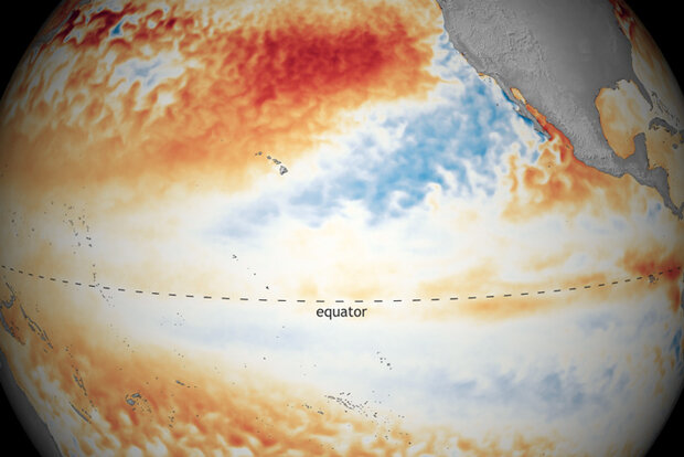
I know you’re all excited for me to talk about La Niña, but I’m a killjoy, so bear with me for a second while I talk about the current state of the Pacific. In June, ocean surface temperatures were near the 1991-2020 average across the equatorial Pacific, including the all-impo…
Read article
La Niña conditions have ended and NOAA forecasters estimate about a 67% chance that neutral conditions will continue through the summer. The ENSO forecast for the fall is less confident, with odds of a second-year La Niña currently hovering around 50–55%.
Spring cleaning
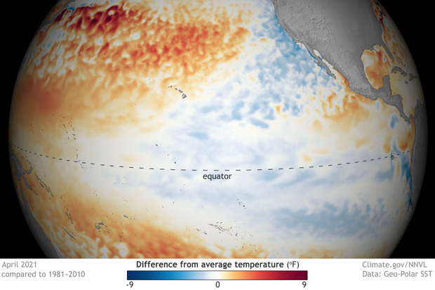
If you’ve been paying very close attention to the surface temperature of the tropical Pacific Ocean (and really, who doesn’t?!) you may have noticed that the April 2021 Niño 3.4 Index, at 0.75°C below average, still exceeds the La Niña threshold of 0.5°C below average. This is according to ERSSTv5, our primary sea surface temperature dataset.
By the way, “average” is now calculated over 1991–2020. Check out the …
Read article
As the 2020–21 La Niña has come to an end, leaving us with neutral conditions in the tropical Pacific, we now wonder if we have seen the last of La Niña for a while or if we will see another dip into La Niña conditions by next fall. In the world of the El Niño-Southern Oscillation (ENSO), double-dipping is not a party foul—it’s actually quite common for La Niña to occur in consecutive winters (not El Niño, though). If you’re wondering why, then this is the blog post for you!
Mirror, mirror on the wall
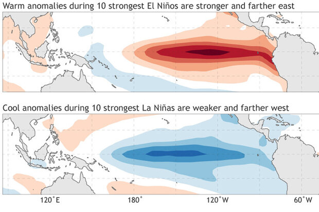
To understand why La Niña commonly double dips, we first need some basic understanding of ENSO asymmetry. Often, we think of El Niño and La Niña as mirror opposites—for example, that the …
Read article
ENSO-neutral conditions are present in the tropical Pacific, and NOAA forecasters think they’re likely to continue through the summer. Neutral is slightly favored through the fall, although it’s a close call between continued neutral and re-developing La Niña for the late fall and winter.
Neutral soup
I often start my top-of-the-month blog posts with a detailed review of the current conditions in the tropical Pacific, but I think I’ll just breeze through that and get to the forecast today. Currently, sea surface temperatures in the ENSO monitoring regions are still slightly cooler than average, but within the neutral range of +/- 0.5°C from the long-term (1991–2020) average.
Neu…
Read article
