Blogs
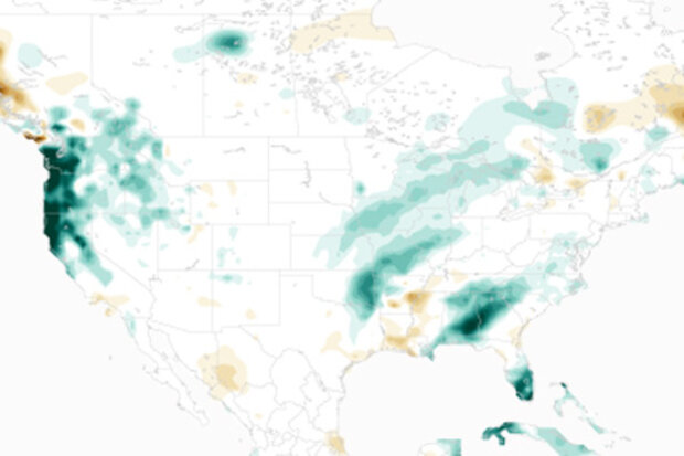
Is El Niño missing? What happened to the rainfall I was promised? What is going on? Some quick answers for those who don't want to read it all (but then you’ll miss the graphical awesomeness I coded up with an assist from climate.gov staff. So read to the end. Please.):
I. No. It’s still here. Based on measurements of sea surface temperature in the tropical Pacific Ocean, this El Niño is the biggest event we’ve seen in almost twenty years.
II. NOAA CPC climate forecasters don’t promise precipitation. For some regions of the U.S., we provide seasonal outlooks for an increased chance of precipitation over a span of a 3-month (seasonal) average.
III. I rea…
Read article
Most people in the East who remember historical snowstorms consider the March 1993 “Storm of the Century” to be the biggest snowstorm to ever affect that part of the country. It’s no wonder: 270 people were killed in the U.S., damages were in the neighborhood of $5.5 billion, every major airport on the east coast was shut down, and most interstates north of Atlanta were closed.
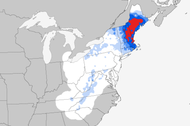
Using our Regional Snowfall Index (RSI), the March 12-15, 1993, event had a raw score of 22.12, making it a Category 5 storm. Yet when we look at the ranking of all historical Northeast snowstorms, the “Storm of the Century” only finishes in second place. No way! How can that be?
Trying to be objective about…
Read article
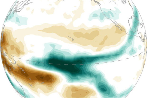
Despite getting a little boost from some strong winds across the tropical Pacific Ocean in January, the warmer-than-average ocean temperatures that drive El Niño have likely peaked. Now that we’re looking out from the other side of the mountain, let’s answer some questions.
So is this the strongest El Niño on record, or what?
This is definitely one of the strongest three going back to 1950. It’s hard to say definitively what single El Niño is the strongest, because there are a lot of different ways to measure strength.
The Oceanic Niño Index, the three-month-average sea surface temperature departure from the long-term normal in one region of the Pacific Ocean, is the primary n…
Read article
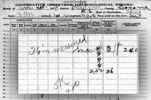
It’s early February, and many of us just dug out—literally and figuratively—from the blizzard of January 2016. We got 6-12 inches here in Asheville; the totals varied from mountain to mountain, like they always do. The snowstorm also buried me under 25 feet of snow-related paper, and that’s what inspired this week’s blog.
Putting today’s big weather events into perspective is one of our responsibilities here at NCEI. People and businesses are naturally curious about whether today’s Big Event is dwarfed by history, repeats history, or makes history. This helps us map it out in our minds and in our strategic plans, and that helps shape our actions going forward.
We need&nbs…
Read article
As the strong El Niño begins weakening later this winter and spring 2016, some clever folks may wonder whether La Niña conditions might develop in the second half of the year. The figure below shows the variations of the 3-month average sea surface temperature departures from average (the anomaly) in the Niño3.4 region, using the ERSSTv4 data (footnote 1).
You can see that sometimes La Niña does occur the year after a significant El Niño, like after the El Niño events of 1997-98, 1972-73 and 2009-10. But it doesn’t always happen, such as after the events of 1991-92 and 2002-03.
Can we estimate how likely a switchover is from an El Niño to a La Niña for the following year? And does …
Read article


