Blogs
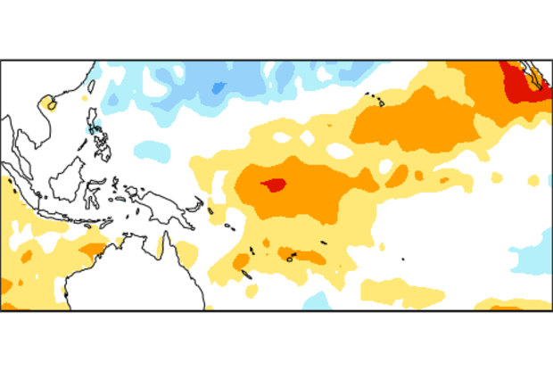
Over the last several months, we’ve seen warmer-than-average sea surface temperatures (SSTs) in the tropical Pacific, including the Niño3.4 region, which we track as one indicator of El Niño. The seasonal Niño3.4 Index has been at or above 0.5°C since September, and the most recent weekly Niño3.4 index was +0.6°C.
The El Niño/Southern Oscillation (ENSO) is a coupled phenomenon, though, so we also monitor the atmosphere for signs that it is responding to those positive SST anomalies. For the last few months, we’ve been seeing some suggestions of borderline atmospheric El Niño conditions, but until this month we were below that borderline. This month, we’ve finally crept above it, and thus …
Read article
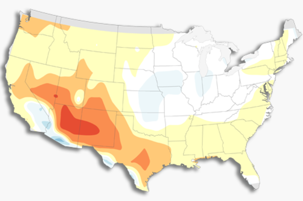
In my first installment about seasonal verification, I showed how using our eyes to verify seasonal forecasts is easy, but can be misleading—so it is often better to use “metrics” to grade our forecasts and see how well they did. Part 2 looked more closely at one such way to grade our forecasts, called the Heidke Skill Score (HSS). The HSS breaks down the forecast into grid boxes spanning the United States, and then for each grid box showing the forecasted category (above-normal, near-normal, below-normal) with the highest probability, we check how often the forecast was the same as reality.
As a refresher, please check out the first figure in my last post. If movie trilogies…
Read article
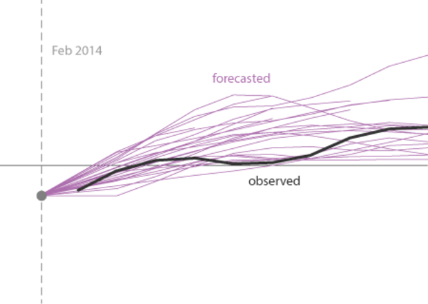
Believe it or not, we ENSO forecasters follow what is being written on various news sites, blogs, and social media. Some of us have twitter accounts: @ejbecker and @TDiLiberto. And don’t forget to follow @NOAAClimate for updates on our latest posts. You inspire us! Many of the topics in our blog come from your questions or ideas you provide. You lead us to think a little harder about the questions we’d like to investigate. And, as of late, we have noticed that there has been some chatter about how the models were wrong about their prediction of El Niño during 2014. Is this true? The answer may surprise you.
In the figure below are model predictions for ENSO created during Janu…
Read article
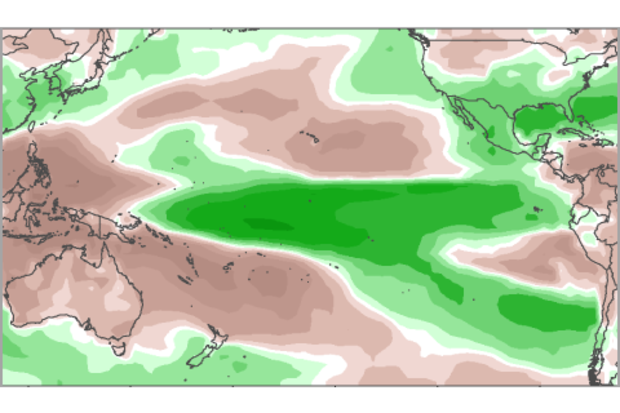
Since October 2014, sea surface temperatures (SST) across the tropical Pacific have exceeded the thresholds of weak El Niño (1), but the atmosphere has failed to really participate. Otherwise, we’d have seen above-average convection (thunderstorm activity) in the central tropical Pacific Ocean, a weakening of the surface trade winds, and a lowering of the Southern Oscillation Index and the Equatorial Southern Oscillation Index (2)—none of which showed up consistently.
However, how much does the atmosphere matter? Can the warm SSTs alone have global climate impacts? While the answer may vary depending on location and type of impact (3), here we ask whether the most recent season (the Novem…
Read article
At the beginning of this month, we find ourselves looking at conditions in both the ocean and the atmosphere that appear a bit like El Niño. Sea surface temperature anomalies in the Niño3.4 region have been at or above +0.5°C for the last few months, and the forecast calls for a 50-60% chance the Niño3.4 index will remain above +05°C through the late winter and into spring. However, we still haven’t checked the box saying we have “El Niño conditions.” Why not?
Mostly, it's because even though there are some promising signs that the atmosphere may be responding to the warmer equatorial Pacfic, we've seen a lot of fluctuations over the past year. It will take more than a couple of wee…
Read article
