Blogs
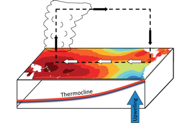
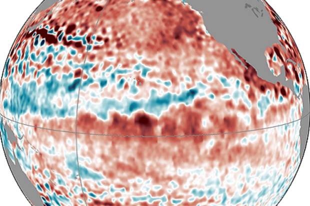
Do we sound like a broken record? The CPC/IRI El Niño-Southern Oscillation forecast released today is essentially unchanged from last month, with around 60-65% chance of El Niño, starting in October-November. Sea surface temperatures in the Niño3.4 region are +0.3°C over the last week, a downwelling Kelvin wave continues to transport warm water toward the eastern equatorial Pacific, and global climate models continue to call for the development of a weak El Niño.
Just how good are these models, though? In our last post, Tony discussed ENSO forecasts over the last few years, including prediction for El Niño in the fall of 2012 that never materialized. Here, I’ll take a look at one forecast…
Read article
People often want to know how accurate today’s ENSO (El Niño-Southern Oscillation) predictions are. To provide a flavor for how they have been performing lately, we look at results since 2012. For an assessment of ENSO predictions over 2002-2012, check out Barnston et al. (2012).
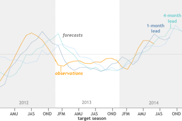
One of my responsibilities as the lead ENSO forecaster at IRI is to judge how well the forecasts have matched reality. One way I do this is I go back through the archived forecasts and make graphics that compare the forecasts with actual sea surface temperature observations. I look for places where they agree and where they don’t, and try to understand what went wrong where they don’t. But eyeballing …
Read article
This is a guest post from Prof. Adam Sobel, Dept. of Applied Physics and Applied Mathematics & Dept. of Earth and Environmental Sciences, Columbia University. He has also started his own blog, adamsobel.org, and his book about Hurricane Sandy, Storm Surge, will be published by HarperCollins on October 14.
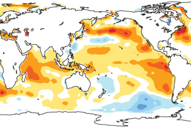
In mid-July 2014, Michelle hypothesized that the reason El Niño was having trouble getting started was that although eastern Pacific sea surface temperatures (SST) were above average, they weren’t being felt by the atmosphere (1). While the central and eastern Pacific were warm, so were the western Pacific and Indian Ocean—so the SST gradient was small (2)—and the gradient is one fac…
Read article
One of the best things about this blog is the number of excellent comments we get on each post. And after spending some time reading your comments for inspiration, I’ve come to several conclusions. One: people really care about the forecast for this winter and two: people are curious about climate change’s impact on ENSO. While I cannot tell you about snow this winter (full disclosure: I love snow and hope for a lot… everywhere. Always.), I can discuss the impact this grand experiment we have started with our atmosphere—climate change—could have on ENSO.
In short, if you are someone who wants more or stronger ENSO events in the future, I have great news for you–research supports that. If …
Read article
In this month’s ENSO Diagnostic Discussion, forecasters are again calling for an approximately 65% chance that El Niño will develop by the Northern Hemisphere winter–with a 55% chance it will start during September-October-November. If it seems like each month we’ve been saying “… in the next few months,” you may be wondering what’s going on. Isn’t an ENSO event (either El Niño or La Niña) supposed to develop in the late spring or summer, peak in the winter, and return to normal conditions in the spring? Generally speaking, yes. But, of course, it’s not always so simple.
ENSO is seasonally “phase-locked,” meaning the events do follow a seasonal cycle, due to a series of physical pro…
Read article
