Blogs
It was bound to happen. In fact, my colleagues have planned for this. More on that later.
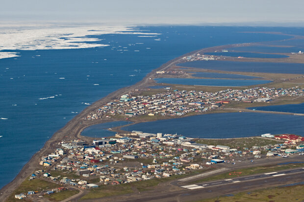
On December 4th, the folks in the Climate Monitoring group at the National Centers for Environmental Information (NCEI) did what we do pretty much every 4th of the month: we processed the previous month's data to prepare our initial US climate report. The data from Utqiaġvik, Alaska, was missing, which was odd. It was also missing for all of 2017 and the last few months of 2016. This was even weirder, because we knew we’d kinda marveled at how insanely warm the station had been for several weeks and months during 2017.
What happened?
The short version: in an ironic exclamation point to swift re…
Read article
This is a guest post by Dr. Stephen Baxter who is a NOAA Climate Prediction Center (CPC) meteorologist and does applied research on subseasonal-to-seasonal climate variability. In particular he specializes in understanding how the middle-to-high latitude circulation is influenced by the tropics versus other processes. He also has a lot of opinions on Siberian snow cover and the role of the western tropical Pacific in forcing seasonal climate over North America.
Recent cold air outbreaks over the north-central and northwestern U.S., along with record cold on Veterans Day in parts of the Northeast and Mid-Atlantic, should have people excited about (or dreading) the upcoming win…
Read article
Well, it’s November, and the CPC/IRI ENSO forecast is declaring the presence of La Niña conditions! I could just link to my November 2016 post and head home for the day… but that would be no fun! There’s about a 65-75% chance that La Niña conditions will continue at least through the winter. As we head into our fifth “double dip” La Niña (an unofficial term for when neutral conditions briefly prevail in between La Niña winters) in the historical record, let’s dig into what we talk about when we talk about La Niña.
A quick flashback
If you recall, last month there were several signs of the presence of La Niña conditions. East-central tropical Pacific sea surface temperatures were co…
Read article
Hi! My name is Natalie Umphlett, and I am the interim director and regional climatologist at the High Plains Regional Climate Center (HPRCC). One of my favorite things about being a climatologist at the Center is helping people use climate data in meaningful ways. Most of the people we serve are not climatologists, so working one-on-one with them to understand their issues and then recommend a dataset or two that may help is an important aspect of my job.
One day I might be helping an agricultural producer to understand crop water use, while another I might be helping a medical doctor incorporate data into an asthma index. Because you never know who will be calling or writing into the Cen…
Read article
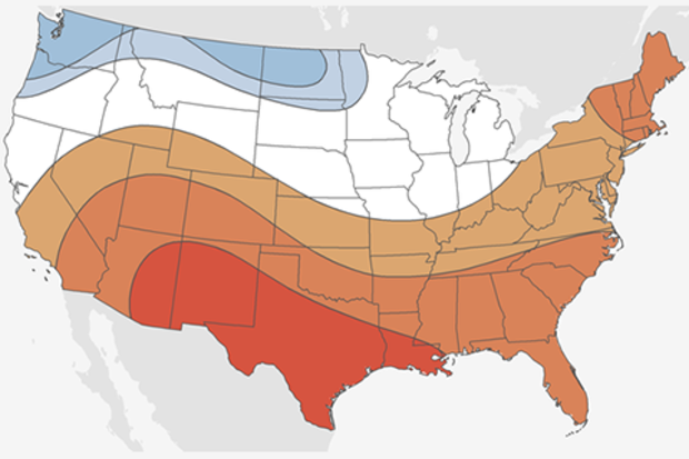
If it’s October, it must be time for my annual blog post detailing NOAA’s forecast for the upcoming winter. And as always seems to be the case (well not in 2015), we’re still trying to figure out what will happen across the tropical Pacific. Here I look ahead to provide some insight as to what is most likely to occur during the upcoming winter with regards to both precipitation and temperature.
Standard reminder: probabilities are not certainties
Before discussing the outlooks, I do want to remind readers again that these forecasts are probabilities (% chance) for below, near, or above-average climate outcomes with the maps showing only the most likely outcome (1). Because the probabil…
Read article