Blogs
This is a guest post by Brian Zimmerman, a climate scientist at Salient Predictions. Salient is a startup that utilizes advances in machine learning and artificial intelligence to develop and provide accurate, reliable forecasts on the subseasonal-to-seasonal timescales. Additionally, Brian serves as a decision support specialist, helping clients to navigate uncertainty in the most effective manner possible.
The nature of uncertainty
There are not too many things more frustrating in this world than unmet expectations. Your favorite basketball team has an estimated 79% chance of beating the upcoming opposition; yet, they lose, and you’re out $10 to your work betting pool. There was only…
Read article
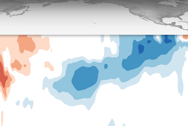
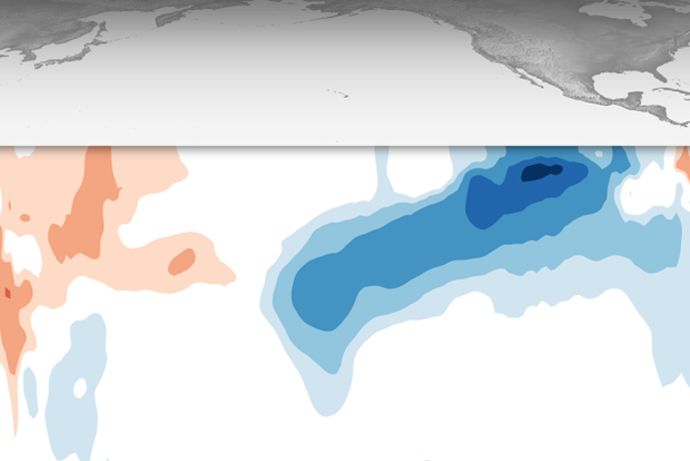
The tropical Pacific is still in neutral, but nature continues giving us signs that La Niña is on the way, and our La Niña Watch remains. Forecasters estimate a 71% chance that La Niña will emerge during September–November and expect it will persist through the Northern Hemisphere winter. A weak La Niña is the most likely scenario.
Opening credits
While there are no plot twists since Tom’s August post—frequent readers could be forgiven for fast-forwarding this month’s update—that 71% chance of La Niña developing this autumn is a small upward tick. Also, the slower-than-expected development of La Niña is a great example of how the short-term (subseasonal) and very long-term (climate cha…
Read article
This is a guest post by Hannah Bao, a recent graduate of the University of Maryland’s Atmospheric and Oceanic Science Department. Hannah is currently enrolled in UMD’s Data Science M.S. program. She developed this piece based on a longer research paper she did for a class.
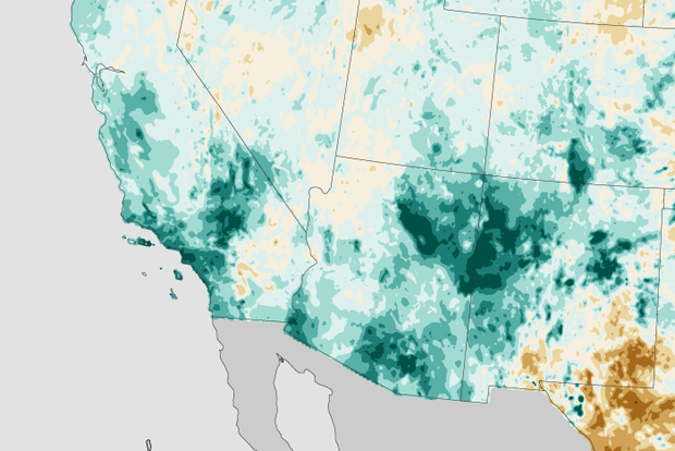
El Niño and La Niña (collectively, ENSO, the El Niño/Southern Oscillation) affect global rain/snow and temperature patterns, making certain outcomes more likely in some regions. For example, winters with La Niña—cooler-than-average surface waters in the central and eastern tropical Pacific—tend to be drier than average along the southern third of the U.S. While this is certainly not always the case, ENSO still giv…
Read article
You’ll have to excuse this ENSO Blogger for a minute while I drink some sweet tea on the porch and lament about all the heat and humidity, “Woof, it’s hot!” Things truly seem to move slower during the dog days of summer in late July and early August. And it seems like the El Niño/Southern Oscillation (ENSO), a climate pattern in the tropical Pacific Ocean that can affect weather across the world, is no exception. The expected transition from ENSO-Neutral to La Niña continues to proceed slowly, as if the whole Pacific is stuck in a summer daze, moving as slow as molasses.
According to the August ENSO outlook, ENSO-Neutral conditions remain across the Pacific, with La Niña favored to develo…
Read article
This is a guest post by Dr. Derek Lemoine, who is APS Professor of Economics at the University of Arizona’s Eller College of Management and a Research Associate of the National Bureau of Economic Research. Dr. Sarah Kapnick, currently the NOAA Chief Scientist, collaborated with Dr. Lemoine on NOAA CPO-funded research while at the NOAA Geophysical Fluid Dynamics Laboratory.
As regular readers of the ENSO blog know, the National Oceanic and Atmospheric Administration (NOAA) issues forecasts of the large-scale climate patterns that we may see many months later. But they may not know that the El Niño Southern Oscillation (ENSO) Outlook is but one of the seasonal climate outlooks that NOAA pr…
Read article


