Why did atmospheric El Niño conditions fail to develop this past fall? Our blogger tries to unravel the mystery of the missing central Pacific rainfall.
Want to forecast both weather and climate? First this means understanding the faster and slower moving features of our atmosphere, ocean, and land.
In this week's ENSO blog, Tom DiLiberto gets all judgy over the 2017-2018 Winter Outlook—using science of course.
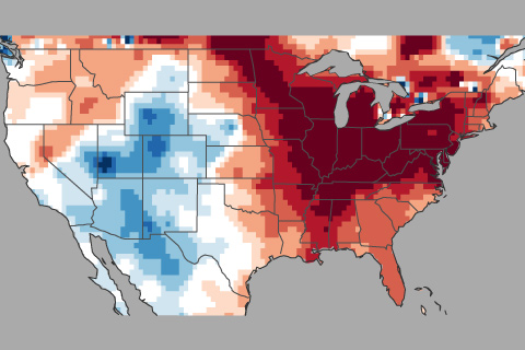
You wouldn't know it to look at the snow falling in the Mid-Atlantic, but according to meteorological convention, winter ended in February. In today’s "Beyond the Data" post, we’ll pull some fun regional trivia out of the national climate summary for February/winter. Bonus: there’s at least one lesson about the climate system in each nugget.
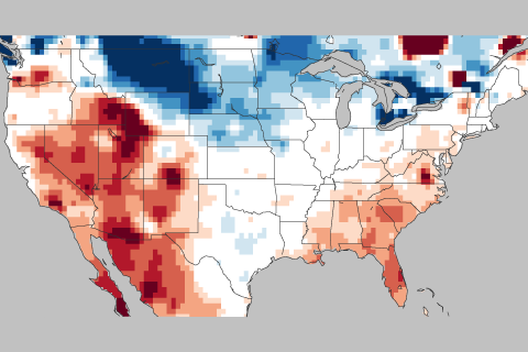
How this winter's temperature swings may have been partially driven by the Madden Julian Oscillation or MJO.
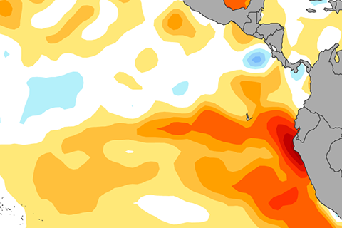
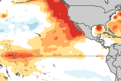
Our ENSO blogger sits down with Ken Takahashi, an ENSO forecaster from Peru, to gab about the recent coastal El Niño and what might be coming up next.
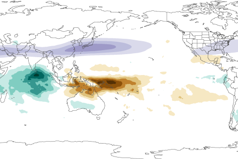
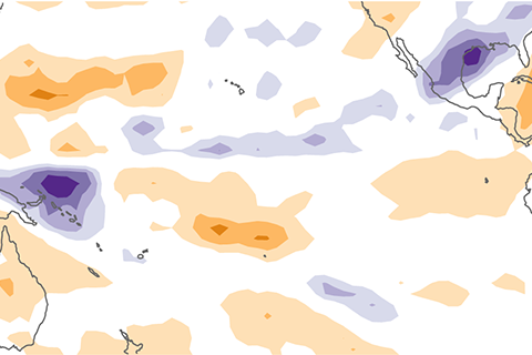
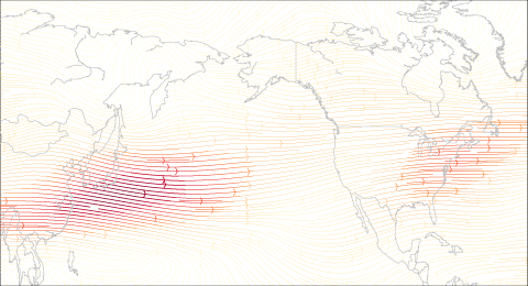
In this installment of our Beyond the Data blog, Carl Schreck talks about how a tropical climate pattern called the MJO left its fingerprints all over California's soaking rains and Boston's recent snowstorm.
How much can forecasters say about ENSO during the spring? A lot depends on which phase—El Niño versus La Niña— the Pacific seems to be headed toward.
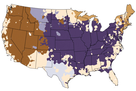
How does La Niña and the jet stream impact winter conditions in the United States?
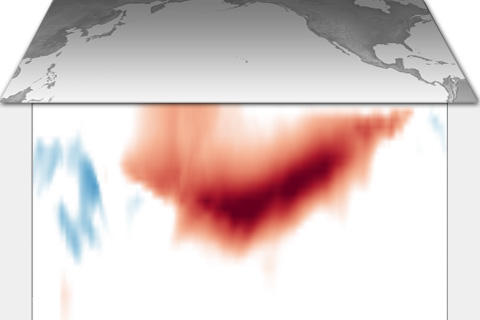
Are sea surface temperatures located north of the equator important for El Niño or La Niña development? Yes! Introducing the Pacific Meridional Mode.