ENSO Blog
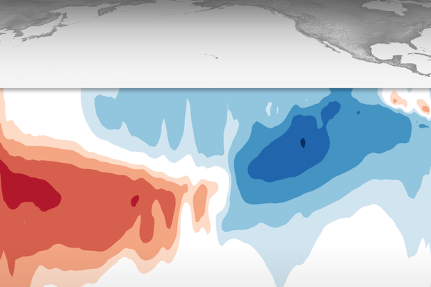
It’s very likely that La Niña will last through the winter (December–February), with a transition to ENSO-neutral (neither La Niña nor El Niño) expected during February–April. Specifically, there’s a 76% chance of La Niña through the winter and a 57% chance of neutral in the February–April period.
High reps
Acronym time! ENSO, the El Niño/Southern Oscillation (the entire El Niño and La Niña system), modifies global weather and climate in somewhat predictable ways. Since ENSO itself can be predicted several months in advance, it gives us an early picture of potential global rain, snow, and temperature patterns, among other climate effects. Check out my September post for a round-up of…
Read article
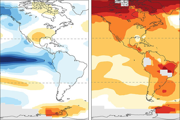
Here at the ENSO blog, we’ve been talking about La Niña (the cool phase of the El Niño-Southern Oscillation climate pattern) for going on three years now. People have started to tell us they’re bored ask us whether all these La Niñas could offset global warming. The short answer is no, La Niña is no match for global warming. (Footnote 1)
The simplest evidence is that global average temperature during recent La Niña years is warmer than for El Niño years in earlier decades! In fact, the La Niña year of 2020 tied 2016—a year that started with a major El Niño—as the all-time-record-high global surface temperature.
But if global warming continues year after year regardless of La Niña, …
Read article
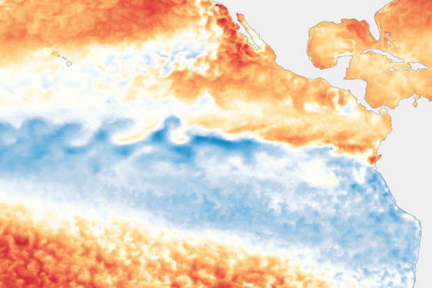
For what seems like the 247th month in a row, La Niña is still in charge in the tropical Pacific. It’s really only been about a year with continuous La Niña, as it took a break summer 2021 and re-developed October 2021, but it seems like longer! There’s a 75% chance La Niña will be present this winter (December–February); forecasters favor a transition to neutral during February–April 2023.
3 Musketeers
Call it what you like—triple-dip, three-peat, three-bean salad—we are facing the third La Niña winter in a row. This is the third time in our historical record of ENSO (El Niño-Southern Oscillation, the whole El Niño and La Niña system), which dates back to 1950, that we have had three …
Read article
Ocean and atmospheric conditions tell us that La Niña—the cool phase of the El Niño-Southern Oscillation (ENSO) climate pattern—currently reigns in the tropical Pacific. It’s looking very likely that the long-predicted third consecutive La Niña winter will happen, with a 91% chance of La Niña through September–November and an 80% chance through the early winter (November–January).
91%! That’s very high. Why so confident?
The first reason is that La Niña is already clearly in force in the tropical Pacific. The August sea surface temperature in the Niño-3.4 region, our primary location for ENSO monitoring, was about 1.0 °C (1.8 °F) cooler than the long-term average, according to ERSSTv5,…
Read article
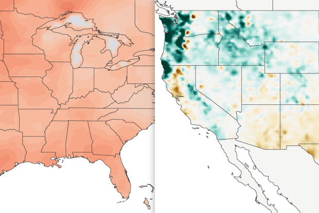
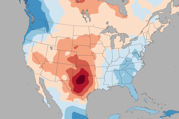
It’s been a scorching summer in much of the US, but no state has sizzled more than Texas. Does this summer’s unusually persistent La Niña bear some of the responsibility for the extreme heat? In this blog post, we’ll try to figure that out!
ENSO impacts on summer US climate: concurrent versus delayed
Back in May of 2015, when the ENSO Blog was still in diapers, Tony Barnston wrote about the expected impacts of El Niño on the US summer climate. Tony’s message about El Niño also holds for La Niña: the summer impacts of La Niña are mostly weak or insignificant in the US. Like El Niño, the impacts of La Niña are stronger in the hemisphere experiencing winter.
One of the main rea…
Read article
