ENSO Blog
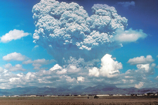
It may seem like I randomly spun a Climate/Earth Phenomena wheel, landed on volcanoes, landed on ENSO, and then decided to do a piece connecting the two. But it makes more sense than it may seem. Volcanic eruptions have had HUGE impacts on the global climate by cooling Earth (1). It’s only natural to wonder, if the planet is affected by volcanic eruptions, can ENSO be? (Full disclosure: As with many things climate related, the answer to this question will be like the final episode of Lost; likely to leave you unsatisfied, maybe even a bit angry, yet wanting more.
Do volcanoes affect ENSO, and why should we care?
Why care? We can learn a lot about how much we know something when tha…
Read article
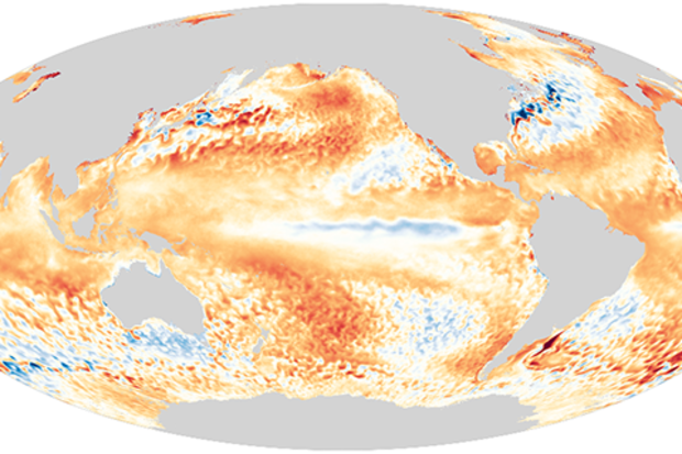
After several months of hovering above average, sea surface temperatures in the tropical Pacific have dropped rapidly in recent weeks. The current CPC/IRI ENSO forecast estimates about a 60% chance that ENSO-neutral conditions will remain through the summer. Chances for the fall and winter are about equally split between neutral continuing and La Niña developing, at around 45% each. El Niño isn’t completely ruled out, but it is less likely, with a chance of about 10%.
June finds us starting to emerge from the spring predictability barrier, when computer models are less successful at predicting how ENSO will behave. However, the models and nature aren’t showing strong signs, which is refle…
Read article
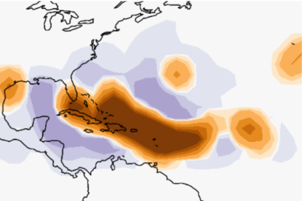
Although the tropical Pacific usually takes center stage here at the ENSO Blog, we can’t help but take a peek at the tropical Atlantic now, with Tropical Storms Arthur and Bertha giving an early start to an Atlantic hurricane season that NOAA recently predicted to be an active one. Given this, it’s a good time to give a brief rundown of some of the latest and greatest advances in seasonal tropical cyclone prediction research from the NOAA lab in which I work, the Geophysical Fluid Dynamics Laboratory (GFDL). Because I am not a tropical cyclone expert, my colleague and tropical cyclone prediction guru Dr. Hiroyuki Murakami has kindly offered his assistance with this post. Without further dela…
Read article
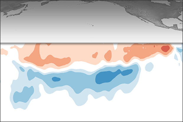
ENSO-neutral conditions continue and are expected to remain through the fall. Let’s hit the road (virtually) and take a trip around El Niño/Southern Oscillation land! Who needs Carhenge when you have the Walker circulation?
Buckle your seatbelts
Perhaps you recently looked at the table of historical ENSO episodes, where the Oceanic Niño Index is recorded. This index, the three-month-average sea surface temperature anomaly in the Niño3.4 region (anomaly = departure from long-term average), is our primary metric for ENSO. (In climate prediction, we refer to any three-month-average period, e.g. February–April, as a season, so I’ll use that going forward here.)
Perhaps you looked at the…
Read article
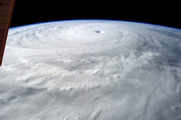
Hurricane season is approaching, and NOAA’s hurricane season outlook will be released in May. While we await that, and in the midst of an ENSO-neutral period, I thought I’d share with you what I recently learned about how human activities may be affecting tropical cyclones. (Tropical cyclones go by different names, depending on where they are—hurricanes in the Atlantic, typhoons in the western Pacific, and cyclones in the Indian Ocean—but they’re all the same type of storm.)
In January—just a few months ago, although it feels like a million years—I attended a meeting in Miami where Adam Sobel, one of our early ENSO Blog guest authors, showed some of his team’s research about tr…
Read article
