ENSO Blog
This is a guest post by Dr. Derek Lemoine, who is APS Professor of Economics at the University of Arizona’s Eller College of Management and a Research Associate of the National Bureau of Economic Research. Dr. Sarah Kapnick, currently the NOAA Chief Scientist, collaborated with Dr. Lemoine on NOAA CPO-funded research while at the NOAA Geophysical Fluid Dynamics Laboratory.
As regular readers of the ENSO blog know, the National Oceanic and Atmospheric Administration (NOAA) issues forecasts of the large-scale climate patterns that we may see many months later. But they may not know that the El Niño Southern Oscillation (ENSO) Outlook is but one of the seasonal climate outlooks that NOAA pr…
Read article
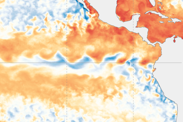
El Niño’s term is over, and La Niña is favored for the school year (79% chance for November–January). Our neutral summer break is well underway, so let’s pack our bags and hit the road.
Summer school
A quick primer for our newer visitors: El Niño and La Niña are opposite phases of the El Niño/Southern Oscillation (ENSO), a climate pattern that changes global atmospheric circulation. El Niño’s signature is warmer-than-average surface water in the eastern and central tropical Pacific, while La Niña is cooler than average. Since they can be predicted many months in advance, and change global climate patterns in known ways, we can get an idea of potential upcoming temperature, rain, drough…
Read article
This is a guest post by Matthew Rosencrans, who is the lead hurricane season forecaster at the NOAA Climate Prediction Center.
Spring has turned to summer, which means that allergies have mostly let go of their hold over our collective sinuses (apologies to those still suffering), sunscreen lathering is again a daily ritual, and many people grab their chairs and blankets and head to the beach. However, this is also when trouble can start brewing in the tropics, and so at this same time every year, forecasters across NOAA (1) turn their attention to the upcoming Atlantic hurricane season. Each May, NOAA issues their Atlantic Hurricane Season Outlook for the number of tropical sto…
Read article
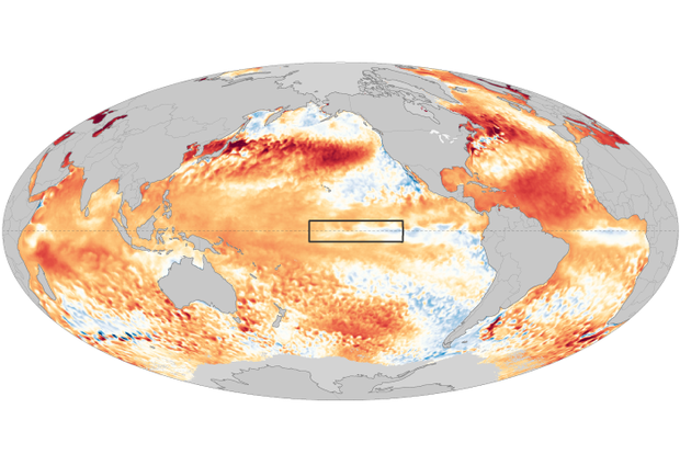
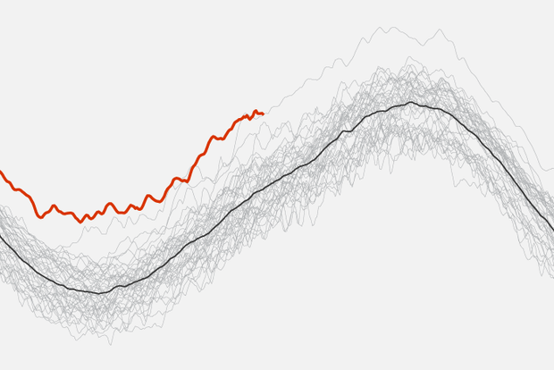
After a year of dominance, El Niño released its hold on the tropical Pacific in May 2024, according to NOAA’s latest update. El Niño—the warm phase of the El Niño-Southern Oscillation (ENSO), our planet’s single largest natural source of year-to-year variations in seasonal climate—has been disrupting climate in the tropics and beyond since May 2023, likely contributing to many months of record-high global ocean temperatures, extreme heat stress to coral reefs, drought in the Amazon and Central America, opposing wet and dry precipitation extremes in Africa, low ice cover on the Great Lakes, and record-setting atmospheric rivers on the U.S. West Coast.
(That’s an incomplete list! I’d …
Read article
It’s hard to believe that ten years ago a ragtag group of El Niño-Southern Oscillation (ENSO) scientists teamed up with an impossibly patient and wise editor and data visualization team at Climate.gov to start this blog. And it’s even harder to fathom how popular the ENSO Blog has become; we've had 6.6 million lifetime page views and nearly half a million readers in the past year alone. So, thank you to all of our readers who have stuck with us as we delved into some amazingly complex and nerdy topics (and some amazingly awful puns) over the years.
And what better way to celebrate ten years than to shamelessly steal a time-honored tradition in the TV sitcom world, the clip show! But inste…
Read article


