ENSO Blog
This is a guest post from Simon Wang, Utah Climate Center/Dept. Plants, Soils & Climate, Utah State University. Simon specializes in climate dynamics, prediction, and their extremes.
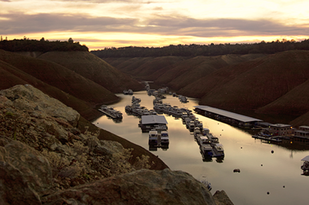
This past winter, most water agencies across California were counting on the strong El Niño to produce surplus water, helping to increase groundwater and make up for what’s been pumped out due to the severe drought. Unfortunately, precipitation during the winter of 2015-16 was barely above the long-term average in the state, despite stormy weather in the northern part of California.
Recent patterns in groundwater
The drought was somewhat alleviated in Northern Californi…
Read article
Neutral ENSO conditions reigned during June and so far in July, as the sea surface temperature in the Niño3.4 region, often used to measure the El Niño/La Niña (ENSO) state, was between -0.5°C and 0.5°C away from average. ENSO-neutral means forecasters can relax a bit, and phones are no longer ringing off the hook now that this whale of an El Niño finally bit the dust.
However, we can’t rest too much. During the last 60 or so years, strong El Niño years have often been followed by La Niña years. There are known physical reasons for this, which we have covered (here and here). Although the record is short, it appears the stronger the El Niño, the greater the chance for a La Niña the ne…
Read article
Over the last couple of months, we’ve been witnessing a tremendous fall from the peak of one of the strongest El Niño events on record. Sea surface temperatures in the Niño-3.4 region of the east-central equatorial Pacific Ocean have cooled down over three degrees Fahrenheit since January! The collapse of El Niño was well predicted because El Niño-Southern Oscillation (ENSO) events are almost always strongest during the Northern Hemisphere winter (1). So, the seeds of destruction are sown into most El Niño events, but what exactly are they?
To understand the demise of El Niño, one needs to understand why and how ENSO evolves. The entire ENSO lifec…
Read article

We’re sticking a fork in this El Niño and calling it done. After spending more than a year above average, sea surface temperatures in the central and eastern equatorial Pacific had mostly returned to near average by the end of May. Forecasters don’t think we’ll remain in neutral territory for long, though. There’s an approximately 65% chance that sea surface temperatures will drop into the La Niña realm (more than 0.5 degrees below normal) by the July – September period. This chance increases to around 75% by the fall.
I’ll get into what’s behind these numbers in a bit, but first, let’s bid a fond farewell to the big 2015-2016 El Niño.
The king is dead!
As we’ve reiterated many time…
Read article
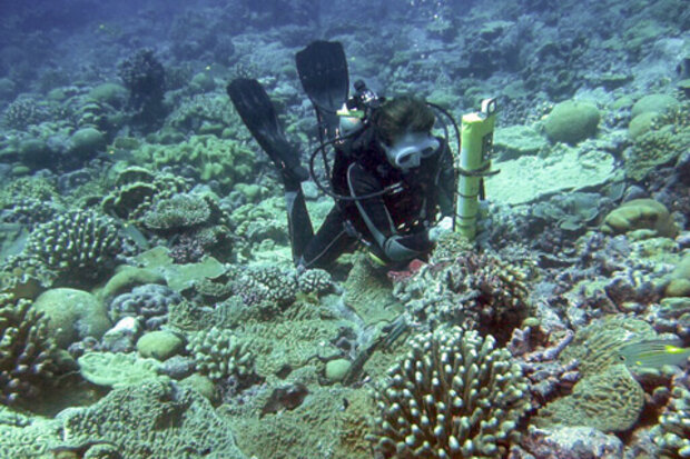
This is a guest post by Dr. Kim Cobb of the Georgia Institute of Technology. She runs a lab focused on paleoclimate (the study of past climates) and climate change whose mission is to uncover the mechanisms of global climate change, both natural and human-caused, in order to inform projections of future climate change. She has also been given a National Science Foundation CAREER award and a Presidential Early Career award for Scientists and Engineers. Her research also lets her travel to places like Borneo and the Line Islands in the Pacific, making us question whether we made correct choices in our professional careers. You can follow along with her lab’s exploits on twitter @coralsnc…
Read article