Blogs
Here at the ENSO Blog, we talk about a lot of different climate patterns, not just the El Niño-Southern Oscillation (ENSO!) pattern. We’re named after ENSO because that’s the 800-pound gorilla, the most influential seasonal climate phenomenon so far identified—check out the FAQ for a lot more info on ENSO. But the global ocean/atmosphere system features many other, smaller gorillas, and some chimpanzees, lemurs, koalas, lions, and a platypus or two. (These are definitely not technical categories, although I might dedicate the rest of my career to making them so.)
Some of those other animals climate patterns, such as the Madden-Julian Oscillation, are carefully monitored because they’re kn…
Read article
Honestly, I could reprint last month’s outlook post and it wouldn’t be that far off from this month. But we have a responsibility to create new posts that we take seriously here at the ENSO blog! So give me a second to “control-c” last month’s ENSO update…. Ahh there we go… And now to hit “control-v”…
ENSO-Neutral conditions are solidly in place at the moment. Forecasters estimate a 70% chance that neutral conditions last through the winter, and a 65% chance of continuing through spring.
This all probably has you thinking “EN-So what”, or “this all about ENS-nOthing”, or “please ENS-top doing these horrible puns”. But bear with me as we dive into what is going on.
You can’t ENS-…
Read article
While I’ve usually written this post in October, this year we decided to wait until a month before winter (December–February) starts. In past years, we’ve asked if El Niño (or La Niña) will play a role in the winter’s outcome. This year is different, however, as ENSO-neutral is present and expected to persist through the winter and into the spring. So what does NOAA’s Climate Prediction Center (CPC) base their winter outlook on when ENSO-neutral is in the cards? Read on to find out.
Other clues for seasonal prediction
Aside from ENSO, the recent trend in temperature and precipitation turns out to be the most skillful predictor on seasonal time scales. As Tom said in his post on the top…
Read article
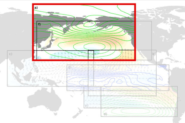
ENSO is pretty quiet right now, with neutral conditions firmly in place. Forecasters estimate about a 70% chance that neutral conditions will continue through the winter, and a 60-65% chance through spring. With ENSO snoozing in the back yard, we’ll take a tour of the tropical neighborhood to see who else is out and about.
Snuffleupagus
Even though our old friend the Niño3.4 index (that is, the departure from the long-term average temperature in the central tropical Pacific) has spent the last few weeks hovering around 0.5°C above average, the overall El Niño/Southern Oscillation (ENSO) system is solidly neutral. To qualify for El Niño conditions, we also require an expe…
Read article
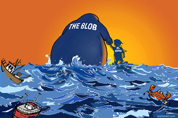
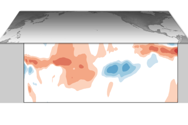
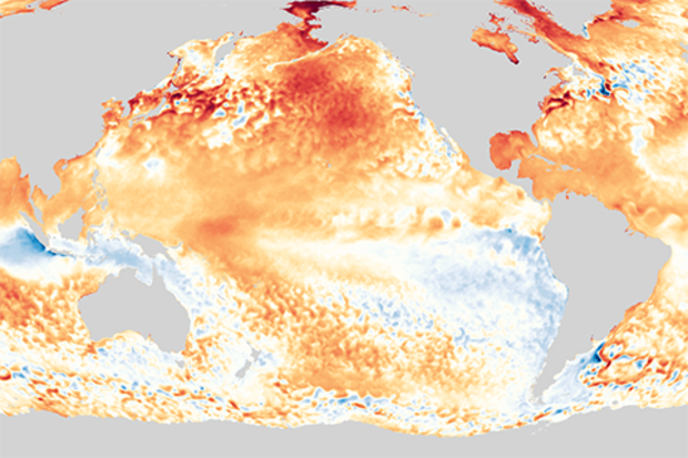
The Pacific Ocean is throwing a bit of a temper tantrum these days, but it’s not where you think it might be. Often we focus on the tropical Pacific Ocean because it’s where ENSO takes center stage, but currently temperature departures across the Tropics are pretty blah. Instead, for the past few months, it’s the North Pacific Ocean that pops out at you—a gigantic red sore that covers much of the eastern basin.
As our colleagues over at NOAA Fisheries explained last month, this feature is a Marine Heatwave. Marine heatwaves are considered prolonged, large-scale warm water events (1). Back in 2014-16, people started calling a very pro…
Read article