Blogs
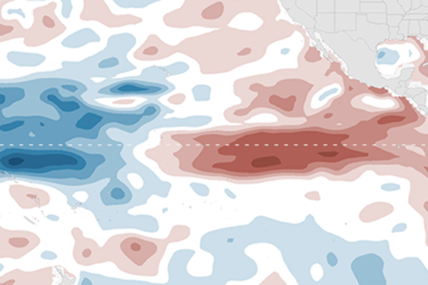
Over the last couple of months, we’ve been witnessing a tremendous fall from the peak of one of the strongest El Niño events on record. Sea surface temperatures in the Niño-3.4 region of the east-central equatorial Pacific Ocean have cooled down over three degrees Fahrenheit since January! The collapse of El Niño was well predicted because El Niño-Southern Oscillation (ENSO) events are almost always strongest during the Northern Hemisphere winter (1). So, the seeds of destruction are sown into most El Niño events, but what exactly are they?
To understand the demise of El Niño, one needs to understand why and how ENSO evolves. The entire ENSO lifec…
Read article
What a difference the day makes
In the last Beyond the Data entry, we investigated the role that late-spring rainfall plays in summer temperatures. The short, short version:
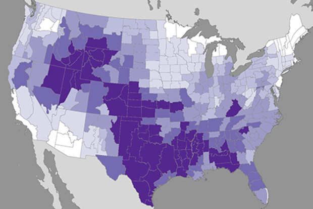
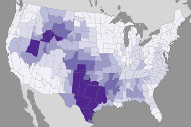
For much-to-most of the contiguous United States (CONUS), summer temperatures have a relationship with (they “listen to”) late spring precipitation. Wetter places in June tend to be cooler through summer, but the tendency is slight. The relationship is not very strong to begin with, explaining about a quarter of the variance, and diminishes to zero away from the south and interior parts of the CONUS.
I subsequently got a note from a great colleague from back in my state climate office days. Jim Angel, the Illino…
Read article
We’re sticking a fork in this El Niño and calling it done. After spending more than a year above average, sea surface temperatures in the central and eastern equatorial Pacific had mostly returned to near average by the end of May. Forecasters don’t think we’ll remain in neutral territory for long, though. There’s an approximately 65% chance that sea surface temperatures will drop into the La Niña realm (more than 0.5 degrees below normal) by the July – September period. This chance increases to around 75% by the fall.
I’ll get into what’s behind these numbers in a bit, but first, let’s bid a fond farewell to the big 2015-2016 El Niño.
The king is dead!
As we’ve reiterated many time…
Read article
In climate monitoring, we often use the term “outcome” to describe the results of a season. For example, “For most of the United States, seasonal outcomes during spring 2012 included a record-warm March and a record-warm spring.”
Outcomes in climate—like in life—are a combination of factors. And at certain times of year—like certain times in life—different factors emerge as relatively more important to an outcome. In climate, spring dampness is one of those factors that emerges as important for warm season outcomes, particularly for the interior of the continent.
This week, we’ll go Beyond the Data to examine how spring precipitation influences summer temperatures, and why this mat…
Read article
This is a guest post by Dr. Kim Cobb of the Georgia Institute of Technology. She runs a lab focused on paleoclimate (the study of past climates) and climate change whose mission is to uncover the mechanisms of global climate change, both natural and human-caused, in order to inform projections of future climate change. She has also been given a National Science Foundation CAREER award and a Presidential Early Career award for Scientists and Engineers. Her research also lets her travel to places like Borneo and the Line Islands in the Pacific, making us question whether we made correct choices in our professional careers. You can follow along with her lab’s exploits on twitter @coralsnc…
Read article


