Blogs
In the monitoring branch, our temperature analyses garner a lot of attention. We are asked big questions such as: What was the warmest year on record? How fast are global temperatures changing? These are important questions that we work to answer, but our regional-scale data and services also have immense benefits.
Someone smarter than me once said, “No one ever died under a global temperature time series.” This is a great way to say that we can report on global average temperatures all we want, but it is the local impacts of change and variability that matter for the average person. At the National Centers for Environmental Information (NCEI), we work tirelessly to translate our treasure…
Read article
...but it's still a seasonal forecaster's best friend.
After El Niño conditions were declared in March and Climate Prediction Center’s latest forecast predicted El Niño’s continued strengthening during the upcoming summer and fall, I think it is safe to say we are well within the time period where everything will be blamed on El Niño.
It rained on your wedding day? El Niño. Had an outdoor picnic ruined by a late afternoon thunderstorm? El Niño. Was it hot …during the summer? El Niño.
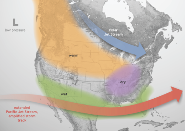
Usually these are exaggerations. Mike Halpert and Tony Barnston in past posts have shown what type of U.S. and global impacts are associated with an El Niño for the late fall and winter and for the summ…
Read article
Two weeks ago, I wrote about 2015’s chances of dethroning 2014 as the warmest year on record and how the maturing El Niño increases those odds.
This week, going Beyond the Data, we’ll unpack what that first-place ranking really means. In the big picture, the actual rank of an individual year isn’t that important. In fact, using ranks can really over-emphasize their importance. So why do we use them?
The Power of Context
Let’s start with something light, like some [really amateur] comparative psychology. As animals, we use real-time information to identify threats. This keeps us (and bears) from walking into fires. As humans, we seek patterns. It’s what we do. We thrive…
Read article
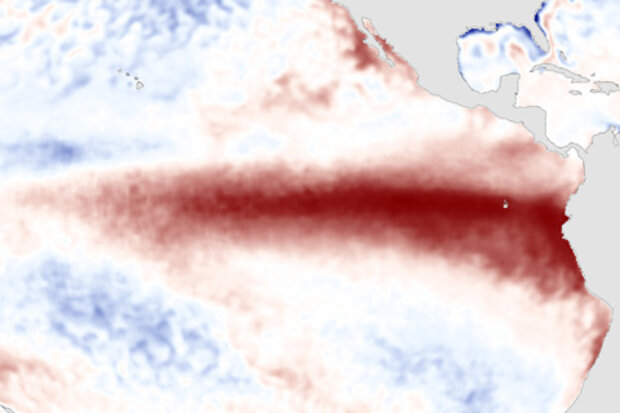
El Niño continues to pick up steam. NOAA CPC/IRI forecasters are now very confident that the event will continue through the fall (over 90% chance) and into the winter (~85% chance). Now that we’re emerging from the spring barrier, this month’s update provides a first guess of the potential strength of El Niño. It’s harder to predict the strength of the event than it is to predict its duration, so we are less confident about that, but forecasters currently favor a “strong” event for the fall/early winter. By “strong” we mean it’s expected that the three-month average sea surface temperature in the Niño3.4 region will peak at more than 1.5°C (2.7°F) above normal.
What’s happening right now…
Read article
Earlier this spring, our (older) sister blog announced that El Niño is here. That has significant ramifications for parts of the world, because El Niño changes their odds of certain seasonal outcomes (wet, dry, warm, cool), especially if it maintains its strength, or strengthens further, and if it persists beyond our summer. That’s all detailed over at The ENSO Blog.
But why are climate scorekeepers like me interested in El Niño? Well, beyond the immediate influences on regional outcomes, it turns out that El Niño can push the needle on global temperature as well. The arrival of El Niño raises the chances of setting a new record-warmest global temperature for any time period. Just i…
Read article


