Blogs
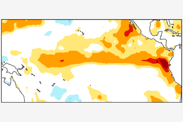
In the recent ENSO Diagnostic Discussion, the probability of El Niño during this Northern Hemisphere summer (June to August) exceeds 90%. As of late May, weak to moderate El Niño conditions are already here, both in the oceanic and atmospheric aspects. And many ENSO prediction models are calling for the sea surface temperature (SST) anomalies to increase during the next several months.
Usually, El Niño or La Niña episodes attain peak strength in autumn or early winter (1), and climate impacts in the mainland US are most reliable during winter—just a bit later than peak time. Last June, Mike Halpert described the expected effects of El Niño in the US during winter. But because the Nino3.4 …
Read article
Hi, and welcome to Beyond the Data: A blog by the nation’s official climate record keepers. As our fancy tagline suggests, the authors of this blog are charged—with our wonderful colleagues—to keep the records of the nation’s and the world’s climate system.
In the way of introductions, here’s a little more about each of us:
Dr. Jessica Blunden authors NOAA’s monthly global climate reports. A North Carolina native, she’s a graduate of Appalachian State University and earned her doctorate at North Carolina State University, where she focused on atmospheric chemistry and air quality. She’s served five consecutive years as the lead editor of the Bulletin of the American Meteorologi…
Read article
There’s a 90% chance that the current El Niño will continue through the summer, and forecasters estimate the chance that it will continue through the end of 2015 at greater than 80%. This is a pretty confident forecast. What are the forecasters looking at that gives them such confidence?
Warm and getting warmer
Sea surface temperatures in the equatorial Pacific remained substantially above average during April. Also, there is still a lot of warmer-than-average water below the surface in the upper 300 meters of the ocean, helping to ensure that the above-average sea surface temperatures will continue for at least the next few months.
The atmospheric response to the warm…
Read article
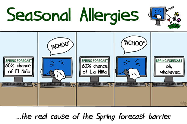
It’s that time of year again when ENSO forecasters stare at the latest analysis and model forecasts and shake their heads in frustration. Why? We’re in the heart of the so-called “Spring Predictability Barrier,” which is when the models have a harder time making accurate forecasts. It’s like trying to predict the next episode of Mad Men based on the tiny amount of detail given in the “as seen on the next episode” clips. As we know from Tom’s posts on verification (here, here, here), there are many ways to measure the accuracy, or skill, of seasonal climate predictions. Here, we will focus on just one measure (1), but there are other ways to gauge the spring barrier.
What is the Spri…
Read article
This is a guest post by Eric Guilyardi, who is a professor in the Department of Meteorology at the University of Reading (NCAS Climate) in the UK and is affiliated with the Institut Pierre Simon Laplace (IPSL) in Paris, France. He has led various efforts to diagnose ENSO in state-of-the-art climate models, with a focus on how ENSO responds in a changing climate.
On a global scale, the El Niño-Southern Oscillation (ENSO) is the dominant mode of seasonal and year-to-year climate variability. Originating in the tropical Pacific, it affects many regions of the globe via atmospheric or oceanic teleconnections. Hence, we climate scientists are frequently working to understand ENSO itself …
Read article
