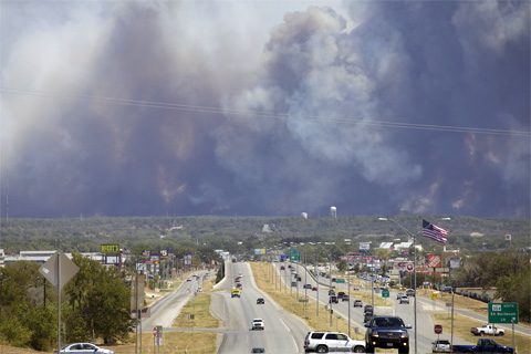
NCEI's Jake Crouch reflects on entering the field of climate monitoring during a historic drought in the Southern Plains.
...but it's still a seasonal forecaster's best friend.
Why ranking the years is kinda genius, and kinda dumb.
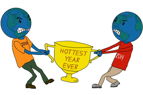
Everyone's asking if the arrival of El Niño guarantees that 2015 will set a new record for warmest global temperature. In his latest blog, Deke Arndt explains why it's possible--maybe even likely--but not guaranteed.
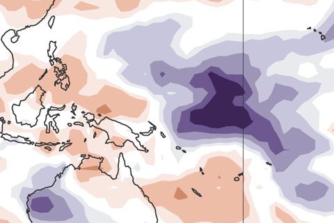
El Niño is the 800-pound gorilla for the winter climate in the U.S., but in summer, it's more like a 6-pound Chihuahua.
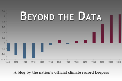
Deke Arndt, chief of the Monitoring Branch at the National Centers for Environmental Information, kicks off a new blog that will cover how climate records are collected and updated, how we know what we know about the climate, and how we can use climate information to make our communities more resilient.
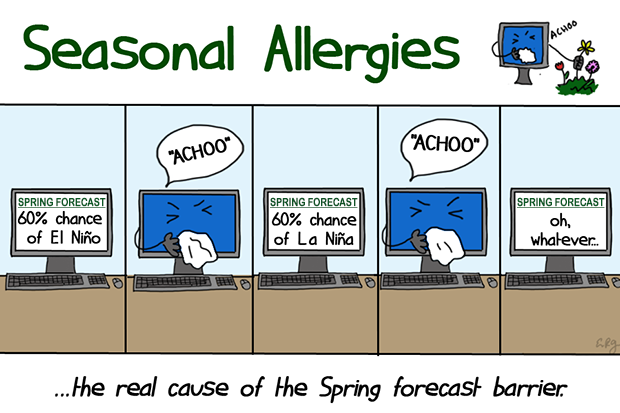
Why is it so difficult to make a good ENSO prediction during the Northern Hemisphere spring?
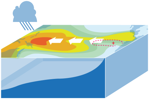
ENSO is a complicated thing to model. What are the challenges, and how can we overcome them?
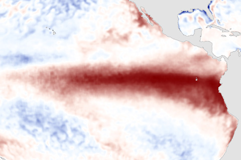
El Nino conditions strengthened in March. Where do forecasters think we're going from here?
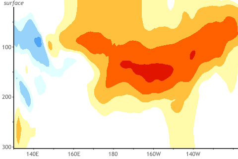
You're not the only one wondering if we will see El Niño grow or continue into this coming winter 2015. How useful are March winds and subsurface temperatures across the tropical Pacific Ocean in predicting winter El Niño or La Niña states?