If we look only at rainfall changes, and not ocean temperatures, can we get a clearer picture of how climate change will influence ENSO? Guest blogger Mat Collins from University of Exeter explains what recent studies have to say.
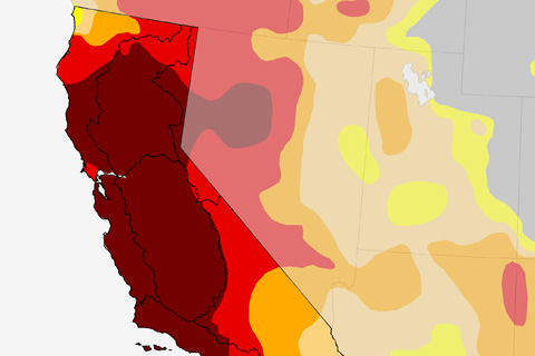
An El Niño means lots of rain for California, correct? Well, some of the time, but not always.
After some very cold weather this month, folks are likely wondering if the early chill is a harbinger of things to come this winter. "Not necessarily," explains Mike Halpert of NOAA's Climate Prediction Center in this week's ENSO blog post.
How to interpret climate outlooks and make $$$$ millions.* **OK, maybe an overstatement, but you'll at least understand probabilistic forecasts better.
What's behind the drop in probabilities this month? And why might forecasting this event be particularly tricky?
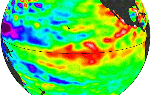
How El Niño is like different flavors of ice cream. Seriously.
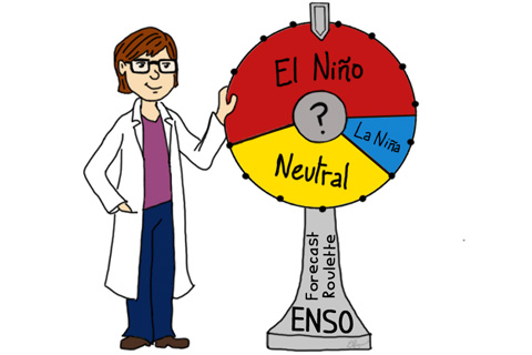
The forecast seems stuck on repeat. Why are we still calling for El Niño?
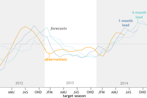
The forecasts often provided useful information for the coming few months, but had more limited accuracy and value in forecasting beyond that.
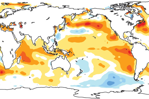
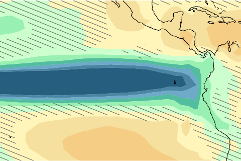
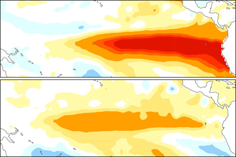
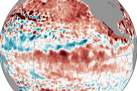
As of late August 2014, tropical atmospheric temperatures appear to be responding more strongly to the ocean than they typically do at this early stage of El Niño development.
Forecasters are still calling for a 65% chance of El Nino conditions being met in the next few months. Isn't this late for the start of an ENSO event?