ENSO Blog
* {
margin: 0;
padding: 0;
}
.media-image_one {
height: 350px !important;
}
.media-image_two {
height: 680px !important;
}
#page-wrap {
width: 620px;
margin-left: 0px;
position: relative;
}
a {
text-decoration: none;
color: black;
}
.image-link {
display: block;
width: 620px;
height: 320px;
position: absolute;
top: -360px;
left: 0px;
}
.image-link_two {
display: block;
width: 620px;
height: 650px;
position: absolute;
top: -680px;
left: 0px;
}
#one {
background: url(/sites/default/files/Sacramento_cummulative_precip_linegraph_620.jpg) no-repeat;
z-index: 5;
}
#two {
background: url(/sites/default/files…
Read article
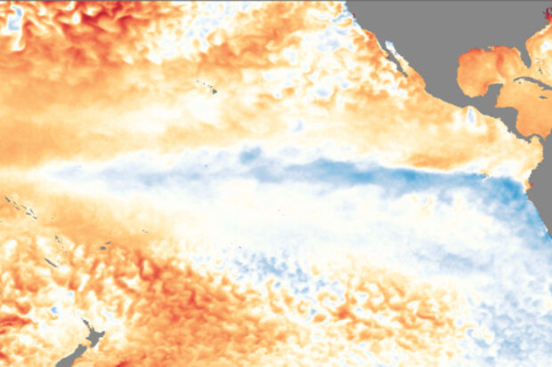
Now that we are smack dab in the middle of winter in the Northern Hemisphere, the time of year when ENSO tends to have its more reliable impacts in the United States, it’s go-time for paying attention to what’s going on in the Pacific. And the latest CPC/IRI ENSO forecast says…[drum roll please]…La Niña is here to stay for this winter with a 85-95% probability before transitioning to ENSO-Neutral conditions during the spring.
Sidenote: Also, who is this person writing this post who is definitely not Emily? I’m Tom and I’m filling in for Emily this month (see footnote for Emily’s whereabouts). And just like a normal substitute teacher, don’t be surprised if I end this article early and jus…
Read article
Our second La Niña year in a row is in full swing now, and is forecast to last through the winter. In November, the average surface water temperature in the Niño3.4 region of the central Pacific Ocean was about 1.0°C cooler than the long-term average. A “double-dip” La Niña is not uncommon—seven La Niña winters in the 1950-present historical record followed La Niña the previous winter: 1955, 1971, 1974, 1984, 1999, 2008, and 2011. In fact, two years, 1975 and 2000, were third-year La Niñas. Only four years, 1964, 1988, 1995, and 2005, were single-year La Niñas.
This graph illustrates something interesting about our current La Niña. During multi-year La Niñas, the surface temperature i…
Read article
This is a guest post by Dr. Stephen Baxter who is a NOAA Climate Prediction Center (CPC) meteorologist and does applied research on subseasonal-to-seasonal climate variability. In particular he specializes in understanding how the middle-to-high latitude circulation is influenced by the tropics versus other processes. He also has a lot of opinions on Siberian snow cover and the role of the western tropical Pacific in forcing seasonal climate over North America.
Recent cold air outbreaks over the north-central and northwestern U.S., along with record cold on Veterans Day in parts of the Northeast and Mid-Atlantic, should have people excited about (or dreading) the upcoming win…
Read article
Well, it’s November, and the CPC/IRI ENSO forecast is declaring the presence of La Niña conditions! I could just link to my November 2016 post and head home for the day… but that would be no fun! There’s about a 65-75% chance that La Niña conditions will continue at least through the winter. As we head into our fifth “double dip” La Niña (an unofficial term for when neutral conditions briefly prevail in between La Niña winters) in the historical record, let’s dig into what we talk about when we talk about La Niña.
A quick flashback
If you recall, last month there were several signs of the presence of La Niña conditions. East-central tropical Pacific sea surface temperatures were co…
Read article
