Blogs
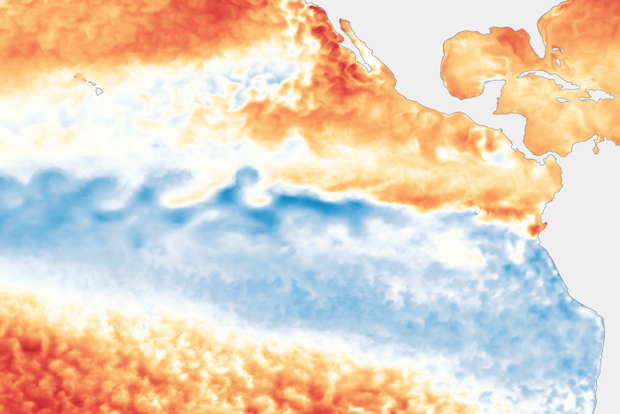
For what seems like the 247th month in a row, La Niña is still in charge in the tropical Pacific. It’s really only been about a year with continuous La Niña, as it took a break summer 2021 and re-developed October 2021, but it seems like longer! There’s a 75% chance La Niña will be present this winter (December–February); forecasters favor a transition to neutral during February–April 2023.
3 Musketeers
Call it what you like—triple-dip, three-peat, three-bean salad—we are facing the third La Niña winter in a row. This is the third time in our historical record of ENSO (El Niño-Southern Oscillation, the whole El Niño and La Niña system), which dates back to 1950, that we have had three …
Read article
Ocean and atmospheric conditions tell us that La Niña—the cool phase of the El Niño-Southern Oscillation (ENSO) climate pattern—currently reigns in the tropical Pacific. It’s looking very likely that the long-predicted third consecutive La Niña winter will happen, with a 91% chance of La Niña through September–November and an 80% chance through the early winter (November–January).
91%! That’s very high. Why so confident?
The first reason is that La Niña is already clearly in force in the tropical Pacific. The August sea surface temperature in the Niño-3.4 region, our primary location for ENSO monitoring, was about 1.0 °C (1.8 °F) cooler than the long-term average, according to ERSSTv5,…
Read article
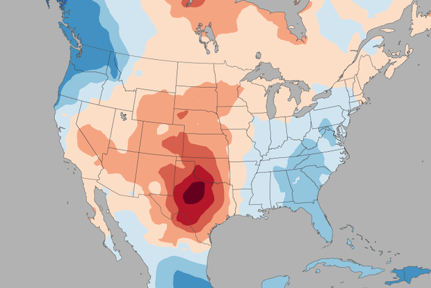
It’s been a scorching summer in much of the US, but no state has sizzled more than Texas. Does this summer’s unusually persistent La Niña bear some of the responsibility for the extreme heat? In this blog post, we’ll try to figure that out!
ENSO impacts on summer US climate: concurrent versus delayed
Back in May of 2015, when the ENSO Blog was still in diapers, Tony Barnston wrote about the expected impacts of El Niño on the US summer climate. Tony’s message about El Niño also holds for La Niña: the summer impacts of La Niña are mostly weak or insignificant in the US. Like El Niño, the impacts of La Niña are stronger in the hemisphere experiencing winter.
One of the main rea…
Read article
La Niña continues! It’s likely that the La Niña three-peat will happen: the chance that the current La Niña will last through early winter is over 70%. If it happens, this will be only the third time with three La Niña winters in a row in our 73-year record. ENSO (El Niño/Southern Oscillation, the whole La Niña and El Niño system) has the greatest influence on weather and climate during the Northern Hemisphere cold season, so forecasters pay especially close attention when it looks like ENSO will be active in the winter.
Hopelessly Devoted to You
La Niña is present when the sea surface temperature in the east-central Pacific Ocean is at least 0.5 °C (0.9 °F) cooler than the long-term a…
Read article
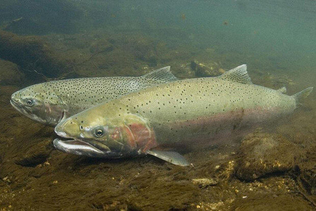
When we discuss the El Niño-Southern Oscillation (“ENSO” for short) at the blog, we often take a rather human or physics-y view of the climate phenomenon. We've published loads of articles discussing the mechanics for how ENSO works in the atmosphere and the ocean, and how ENSO impacts humans from droughts and wildfires to floods. (Seriously, check out this index page covering all the ENSO blog posts to date.) But there is more to ENSO than physics and humans! Blasphemy, I know.
Because, from the very beginning, ENSO has been a tale about marine life impacts. You simply cannot tell the story of El Niño, for instance, without mentioning its impacts on the anchovy fishery off the coast of P…
Read article
