Blogs
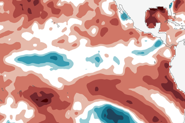
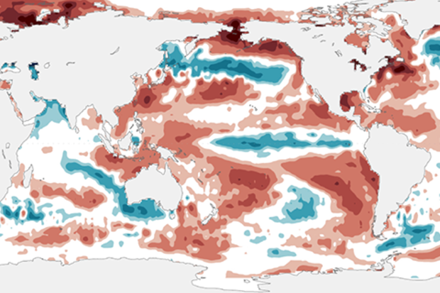
Well, that was quick! The ocean surface in the tropical Pacific is close to average for this time of year, putting an end to La Niña, and forecasters expect that it will hover around average for a few months. Let’s dig in to what happened during January, and what the forecast looks like.
Not with a bang
This La Niña wasn’t exactly one for the record books. Our primary index, the three-month-average sea surface temperatures in the central Pacific Niño3.4 region, only dipped to about 0.8°C cooler than the long-term average during the fall of 2016. However, these cooler-than-average temperatures persisted for several months, and the atmosphere over the tropical Pacific responded as expect…
Read article
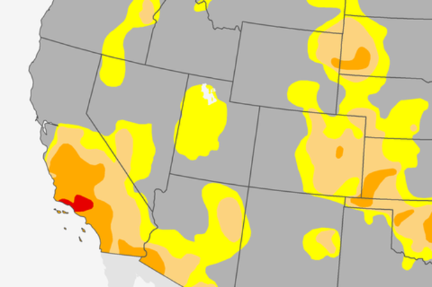
Just a few days ago, on January 26th, 2017, we saw something in the U.S. climate that we hadn’t seen since March 2011. Well, technically, we didn’t see something, I guess.
For the first time since March 2011, there was no D4, “exceptional drought,” anywhere in the United States, as analyzed by the U.S. Drought Monitor. The last vestige of D4—the most severe category in the monitoring system—disappeared from its southern California holdout, part of a larger pattern of substantial mid-January drought improvements in California.
(note: it is always difficult to describe drought improvements as “improvements” knowing they came, as they often do, with the price tag of major flooding and…
Read article
This is a guest post by Dr. Ángel G. Muñoz who works at the Atmospheric and Oceanic Sciences Program at Princeton University and NOAA Geophysical Fluid Dynamics Laboratory. He focuses on the study of climate extremes and regional climate variability, predictability and model diagnostics, with an emphasis on Latin America and the Caribbean.
Imagine an orchestra playing your favorite concerto or film score, each instrument contributing its share to the entire piece. Sometimes one of them seems to lead the others, to become soon after just another thread in the musical tapestry, no more important than any other instrument.
Like in concertos, sometimes ENSO (El Niño-Southern Oscilla…
Read article
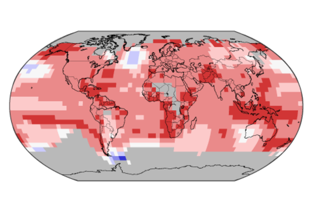
Looking back on Earth’s global temperature over the past three years...2014: record warm—wow! 2015: record warm—wow!! 2016: record warm—holy cow!!!
In 2016, the annual global temperature reached a record high for the third year in a row, a remarkable occurrence rarely seen in the 137-year NOAA record and one not seen since the streak of record warmth (at the time) of 1939, 1940, and 1941.
Those years, which ranked as third warmest, second warmest, and warmest, respectively, in 1941, now rank as 64th, 50th, and 38th warmest today. But back to the current streak…how did this happen?
If you guess long-term climate change—Yes! If you guess El Niño—Yes! Also correct. If you guess sup…
Read article
It looks like La Niña is on her way out, and neutral conditions are expected to take over by next month. While she’s still hanging around, let’s take a tour around the world in 80 lines (or so).
Starting right in the middle of things
The engine of ENSO (El Niño/Southern Oscillation, the whole El Niño & La Niña cycle) is the temperature of the ocean surface in the equatorial central and eastern Pacific. Since late summer 2016, the Niño3.4 region has been cooler than the long-term average. December was -0.72°C below average, a slight uptick relative to the month before.
As I’m sure you’ll recall, we assess ENSO on seasonal timescales, meaning the average over several months. T…
Read article
