The U.S. tornado season to date has been very active. Our guest blogger explains how the lingering influence of La Niña might have played a role.
The tropical Pacific is ENSO-neutral. Our blogger covers what that means and what forecasters expect for the rest of the year.
What’s ahead for May, as we draw closer to the start of summer? Here’s what NOAA’s Climate Prediction Center (CPC) expects to occur during the month.
March 2025 temperatures for the contiguous U.S. were the sixth-warmest in the 131-year record. Precipitation ranked in the middle third of the historical record.
After spending much of the season with super strong wind speeds, the polar vortex bowed out two weeks ago, with the core west-to-east winds sliding off the pole. However, as it winds down for the season, the polar vortex still has a few tricks up its sleeve.
The April outlook favors mild temperatures across the South, a wet month in parts of the Ohio and Mississippi Valleys, and drought persistence in the West.
It’s March Madness, ENSO style! Our blogger discusses why the North American precipitation pattern this past winter looked more like the response to a moderate-strength La Niña than to a weak event.
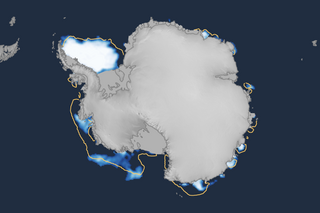
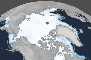
Temperatures were above average over much of the globe, particularly in the Arctic, but much below average over western Canada and the central United States.